Home › Escalante, Utah › Scenic Byway 12
All-American Road
Scenic Byway 12
A hundred and twenty three miles from Bryce Canyon country to Torrey, crossing a ridge with no guardrails and climbing over the highest timbered plateau in North America. Escalante sits in the middle of it.
Start here
Three roads pretending to be one
Byway 12 is designated an All-American Road and runs 122.863 miles, which everyone sensibly rounds to 123. What the number hides is that it is three completely different drives stitched together, and knowing which one you are on tells you how long it will take.
Bryce Canyon country to Escalante, mileposts 0 to 59. Rolling high desert through Tropic, Cannonville and Henrieville. Fast, open, and the least remarkable stretch, which is not saying much.
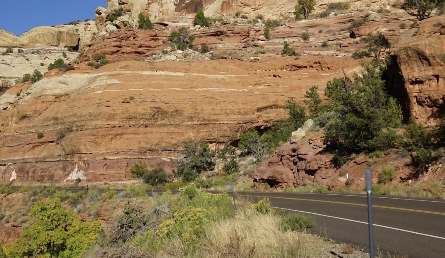
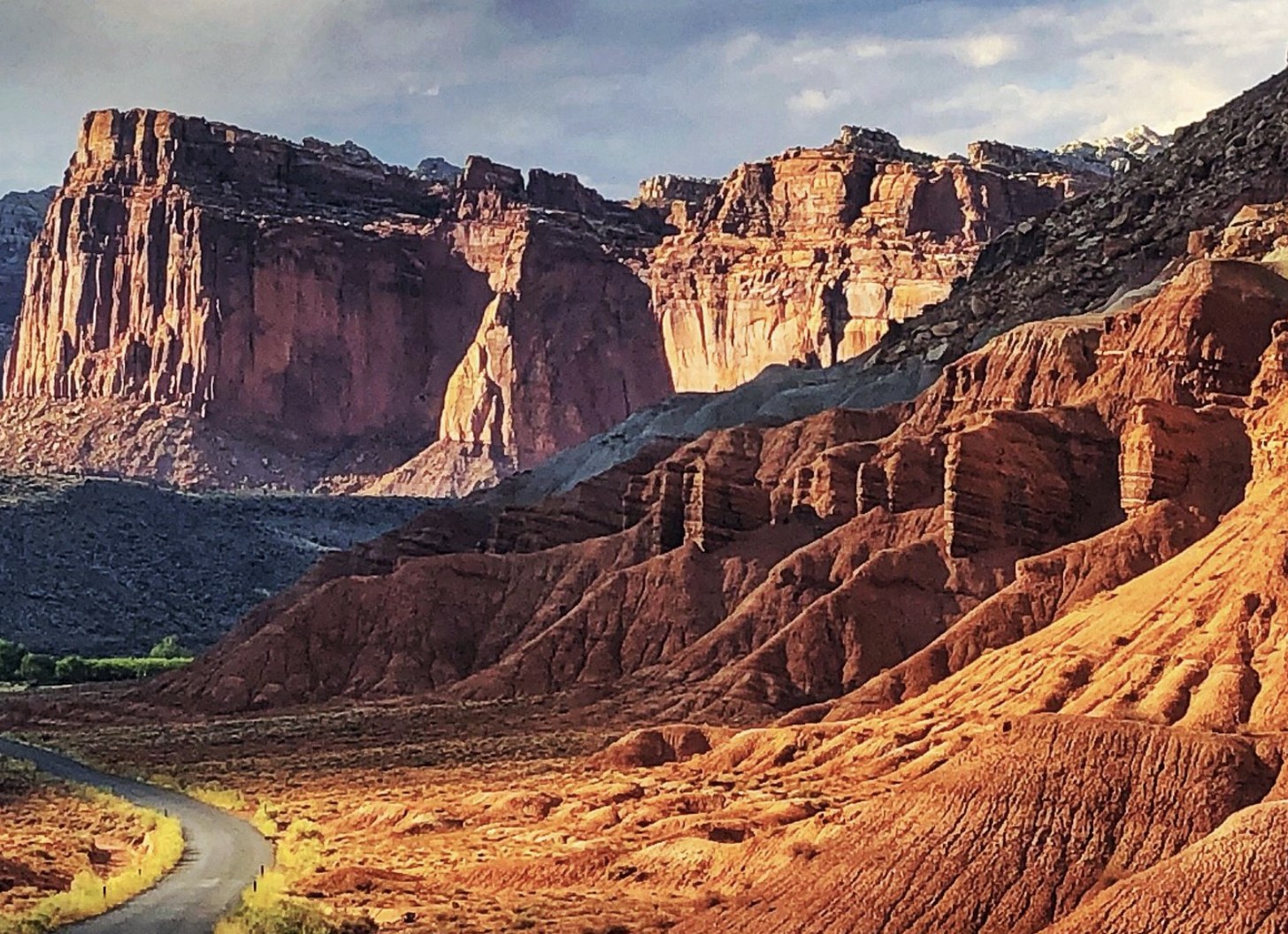
Escalante to Boulder, mileposts 59 to 86. The slickrock section and the Hogback. Twenty seven miles that take forty minutes and deserve longer.
Boulder to Torrey, mileposts 86 to 123. Up and over Boulder Mountain on the Aquarius Plateau, into aspen and conifer. A different climate entirely.
Do not plan it by mileage. Plan it by which of the three sections you are crossing.
If you are basing in Escalante, you are perfectly placed: Calf Creek is 15 miles east on the good stretch, and both the Hogback and Boulder Mountain are an easy afternoon from town. See the planning hub.
The route
Milepost by milepost
Mileposts run west to east from the junction near Bryce Canyon. These are the figures from the state highway record.
| Milepost | Where | What is there |
|---|---|---|
| 0.0 | Bryce Canyon Junction | The western end, at US 89. The turn for Bryce Canyon National Park comes a little further along. |
| 13.6 | Tropic Junction | The byway drops off the plateau. Tropic and Henrieville follow. |
| 25.7 | Cannonville | Turnoff for Kodachrome Basin and the Cottonwood Canyon road south. |
| ~54 | Hole-in-the-Rock turnoff | Five miles west of Escalante. Everything in our road guide starts here. |
| 59.0 | Escalante | Fuel, the visitor center, beds and food. The natural base for the middle of the byway. |
| ~74 | Calf Creek | Fifteen miles east of Escalante. Campground, day use area and the trail to Lower Calf Creek Falls. |
| ~75–80 | The Hogback | The narrow ridge. No guardrails, drops both sides, pullouts at either end. |
| 86.4 | Boulder | 227 people, the start of the Burr Trail, and the last services before the mountain. See Boulder. |
| 86–116 | Boulder Mountain | Thirty miles climbing and descending the Aquarius Plateau. Aspen, conifer and long views back over everything you just drove. |
| 122.9 | Torrey | The eastern end, and the gateway to Capitol Reef. |
Why our mileages and other sites' sometimes differ
Milepost positions are precise and come from the state highway record. Point to point distances quoted elsewhere often measure to a park entrance or a visitor center rather than to a town, which is why you will see Escalante to Bryce Canyon given as 53 miles in one place and 59 to Bryce Canyon Junction here. Both are right about different endpoints. The approximate mileposts above are our own positioning from the route and are marked with a tilde for that reason.
The famous bit
The Hogback
Between Escalante and Boulder the byway runs along a narrow ridge with no guardrails or shoulders and steep drop offs on each side. That is the state's own description and it is accurate. For a stretch you are driving a road with nothing but air either side of the white line.
It is not technically difficult. It is psychologically demanding, which is a different thing.
It is paved, two lanes, and driven by ordinary cars every day of the year. What it is not is a place to take your eyes off the road to look at the view, and that is the whole difficulty, because the view is the reason you came. Use the pullouts at either end, and let anyone impatient behind you go.
Two conditions change the calculation. High wind, which moves a high sided vehicle around in a way you will not enjoy up there. And ice, which is a genuine hazard at this elevation in winter. In either, consider whether you need to cross today.
The part people forget
Boulder Mountain and the Aquarius Plateau
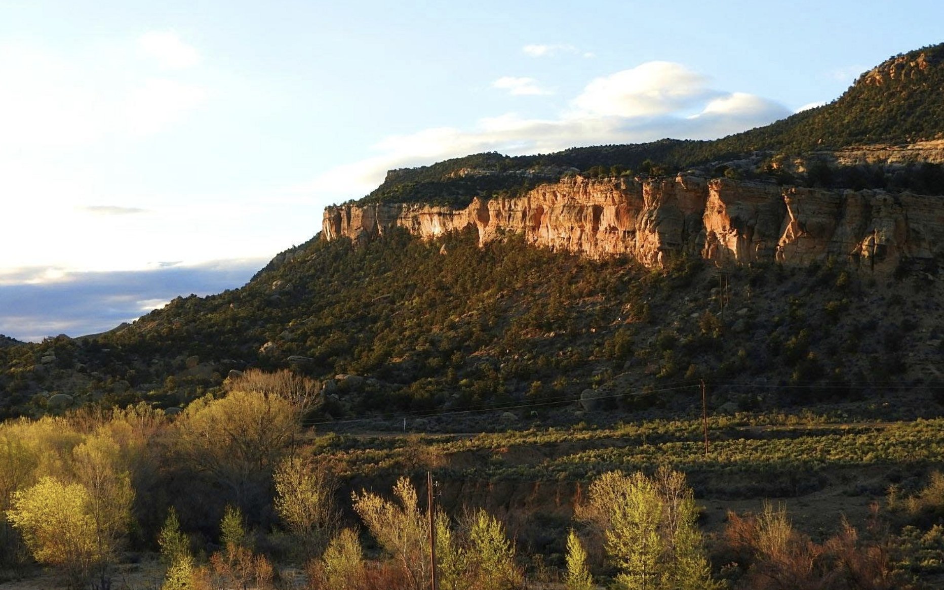
North of Boulder the byway climbs onto Boulder Mountain, which makes up half of the Aquarius Plateau. This is not a pass over a ridge, it is a thirty mile crossing of a landform with over 50,000 acres of rolling forest and meadow on top, a summit that is nearly flat across roughly 70 square miles, and a high point at Bluebell Knoll of 11,317 feet.
It is described as the highest timbered plateau in North America, and driving onto it from red rock country is genuinely disorienting. You leave slickrock and cottonwoods and within half an hour you are in aspen and conifer with snow at the roadside into late spring.
Why to do it
The overlooks on the descent toward Torrey look back across the Waterpocket Fold and the country you have spent the week in. It is the best single view of where you have been.
What to watch
Elevation means weather. This stretch holds snow and ice long after Escalante is clear, and conditions here can close or slow the drive when the rest of the byway is fine.
Allow an unhurried hour and a half from Boulder to Torrey, more if you stop, which again you will.
Practicalities
Driving it well
The byway is the spine of a trip through here rather than a thing to tick off in an afternoon. Most people who rush it wish they had given it two days and a night in Boulder or Escalante. Road conditions and the weekly report come from the visitor center on 435-826-5499. See also getting here and best time to visit.
Questions we actually get
Frequently asked
How long is Scenic Byway 12?
122.863 miles, usually rounded to 123, running from a junction with US 89 near Bryce Canyon east to Torrey. It is designated an All-American Road. Escalante sits at milepost 59 and Boulder at milepost 86.
How long does it take to drive Highway 12?
Three to four hours end to end without stops, and essentially nobody drives it without stopping. If the byway is the point of your day, give it a full day. If you are moving between bases, allow half a day and accept you will stop anyway.
Is the Hogback dangerous?
It is a paved two lane road driven by ordinary cars daily, but it runs along a narrow ridge with no guardrails or shoulders and steep drops on both sides. The difficulty is psychological rather than technical. Use the pullouts rather than slowing on the ridge, and think twice in high wind or ice.
Is Scenic Byway 12 open in winter?
Generally yes, but the Boulder Mountain section between Boulder and Torrey is the part affected by snow and ice, because it crosses a plateau whose high point is 11,317 feet. The Escalante end at 5,820 feet is usually fine. Check that specific stretch rather than the byway as a whole.
Which direction should I drive Byway 12?
Either works. West to east finishes with the climb over Boulder Mountain into Capitol Reef country. East to west descends out of forest into red rock, which many people find the more dramatic reveal. If you only drive part of it, the Escalante to Boulder section is the one to choose.
Where should I stop on Highway 12?
Calf Creek at about milepost 74 for the waterfall hike, the Hogback pullouts between there and Boulder, and the overlooks on the Boulder Mountain descent. From Escalante itself, the Hole-in-the-Rock turnoff five miles west is where the slot canyons start.
Stop in the middle
The best part of the byway is the stretch either side of Escalante, and the canyons below it are why people stay a second night.
More on the town at the Escalante guide, and the dirt road at Peek-a-boo and Spooky.
Escalante sits at milepost 59, in the best part of the drive.
Plan a stop