Home › Plan your trip › Getting here
You are driving
Getting to Escalante
No airport, no bus, no train. Every visitor arrives by car, and the only real decisions are which airport you fly into and how much of the day you give to the drive.
Start here
Fly into Las Vegas or Salt Lake City, hire a car, drive
Escalante has no commercial airport, no rail and no scheduled bus. There is no taxi or ride share worth planning around once you arrive, and none at all to the trailheads. A hire car is not one option among several, it is the trip.
The two practical airports are Las Vegas and Salt Lake City, both large, both with the full range of hire companies, and both a long drive away. Smaller regional airports exist closer, with fewer flights and usually a worse total journey once connections are counted.
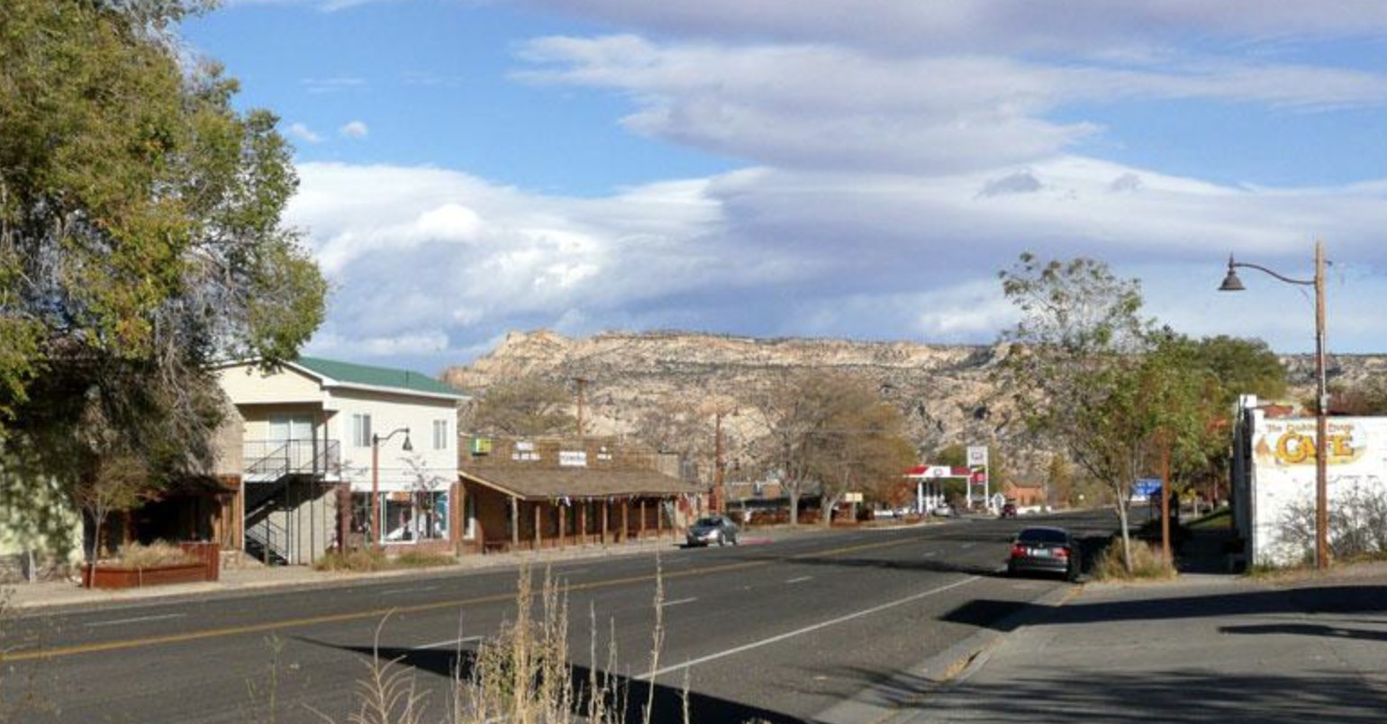
The drive is not the boring part before the holiday. On Byway 12 it is a large part of the holiday.
Because of that, we would plan the arrival day as a driving day with a stop or two rather than a transfer to be endured. See the byway guide.
How far it really is
Distances and times
| From | Distance | Notes |
|---|---|---|
| Bryce Canyon | 53 miles | The nearest national park. About an hour and a quarter on Byway 12. |
| Capitol Reef | 62 miles | North over Boulder Mountain. Allow longer than the mileage suggests. |
| Boulder | 27 miles | Milepost 59 to milepost 86, over the Hogback. See Boulder. |
| Salt Lake City | 278 miles | Four and a half to five hours. The most common Utah arrival airport. |
| Zion | Via Bryce | Bryce Canyon to Zion is 88 miles, so budget for a full day if you are chaining parks. |
| Las Vegas | Long | A common arrival airport and a substantial drive. We have not found an official figure and are not going to invent one. |
Why you will see different numbers for the same trip
Distance charts measure to a park entrance or visitor center, while milepost figures measure town to town. That is why Escalante to Bryce Canyon shows as 53 miles on the state tourism chart while our byway page gives 59 miles to Bryce Canyon Junction. Both are correct about different endpoints, and we label which is which rather than averaging them.
The published distances above come from the Utah state tourism distance chart. Where we could not find an official figure, the table says so.
Flying in
Which airport
Salt Lake City
278 miles and roughly four and a half to five hours. A major hub with every hire company, good international connections, and a drive that improves steadily the further south you get. The default for most trips.
Las Vegas
Often the cheapest flights and a strong hire car market. A long drive, but it sets up naturally if you are chaining Zion and Bryce on the way in.
Smaller regional airports sit closer, including St George and Cedar City, and there is a small airfield at Bryce Canyon. These can work, but they carry fewer flights and often mean a connection, so check the total door to door time rather than the map distance before paying more for proximity.
Whichever you choose, the last stretch is the same: Scenic Byway 12 into Escalante, and that is the part worth arriving in daylight for.
The thing people get caught by
Check your hire agreement
A large number of hire companies prohibit driving on unpaved roads. That clause does not stop the car physically, and plenty of visitors drive Hole-in-the-Rock Road in a standard hire car without incident. What it changes is who pays when something goes wrong, 26 miles from pavement with no phone signal.
Read the unpaved road clause before you book, not after you are stuck.
On vehicle type, you do not need four wheel drive for the main attractions. In dry conditions a standard car reaches Devils Garden and the Dry Fork trailhead. In wet conditions four wheel drive does not help, because the surface is clay. High clearance is what opens up the rougher spurs, and it is worth having if backcountry access matters to you.
If none of that appeals, a guided trip or a shuttle puts the road problem onto a vehicle built for it. See authorised operators and shuttles.
Plan for this
The last hour is the one that catches people
Wherever you fly into, the final stretch is Byway 12, and it does not behave like the interstate that got you there. It climbs, it winds, it crosses the Hogback if you are coming from the north, and it invites stopping roughly every ten minutes.
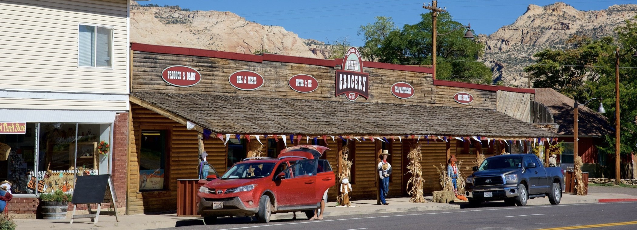
Once you are here, the good news is that nothing else needs arranging. Day hiking needs no permit, trailhead parking is free and unreserved, and the only things that genuinely book out are beds and local guides. See the planning hub and permits.
Questions we actually get
Frequently asked
What is the nearest airport to Escalante, Utah?
There is no commercial airport in Escalante. Most visitors fly into Salt Lake City, 278 miles away, or Las Vegas. Smaller regional airports including St George and Cedar City sit closer but carry fewer flights, so compare total door to door time rather than map distance.
Can I get to Escalante without a car?
Realistically no. There is no scheduled bus or rail service, no ride share to rely on, and nothing at all serving the trailheads. A hire car is essential, and one shuttle operator in town serves point to point hikers rather than general transport.
How far is Escalante from Bryce Canyon?
53 miles according to the Utah state tourism distance chart, about an hour and a quarter on Scenic Byway 12. You will see 59 miles quoted elsewhere, which is the milepost distance to Bryce Canyon Junction rather than to the park.
How far is Escalante from Capitol Reef?
62 miles, north on Byway 12 through Boulder and over Boulder Mountain. Allow longer than the mileage suggests, because the mountain section is slow and the plateau high point is over 11,000 feet.
Do I need a four wheel drive to visit Escalante?
Not for the main attractions. In dry conditions a standard car reaches Devils Garden and the Dry Fork trailhead on Hole-in-the-Rock Road. In wet conditions four wheel drive does not help because the surface is clay. High clearance opens the rougher spurs.
Does my hire car agreement allow unpaved roads?
Many do not, so check before booking. The clause does not physically stop you driving Hole-in-the-Rock Road, but it changes who pays if something goes wrong 26 miles from pavement with no phone signal.
Car sorted? Book the bed
Beds and local guides are the only two things here that sell out. Everything else waits for you.
Making a trip of the drive? See Scenic Byway 12 and the town guide.
No airport, no bus. Check the unpaved road clause before you book the car.
Read the road guide