Home › Plan your trip › Burr Trail
From Boulder
The Burr Trail
Sixty six miles from Boulder to Lake Powell, and the character changes completely about halfway. The first half is a paved drive anyone can do. The second is a shelf road down a fold in the earth.
Start here
Most visitors should drive the first half and turn around
The Burr Trail starts in Boulder, 27 miles north of Escalante, and runs about 66 miles to Bullfrog Marina on Lake Powell. From Boulder it is paved to the boundary of Capitol Reef National Park, and past there it is dirt and clay.
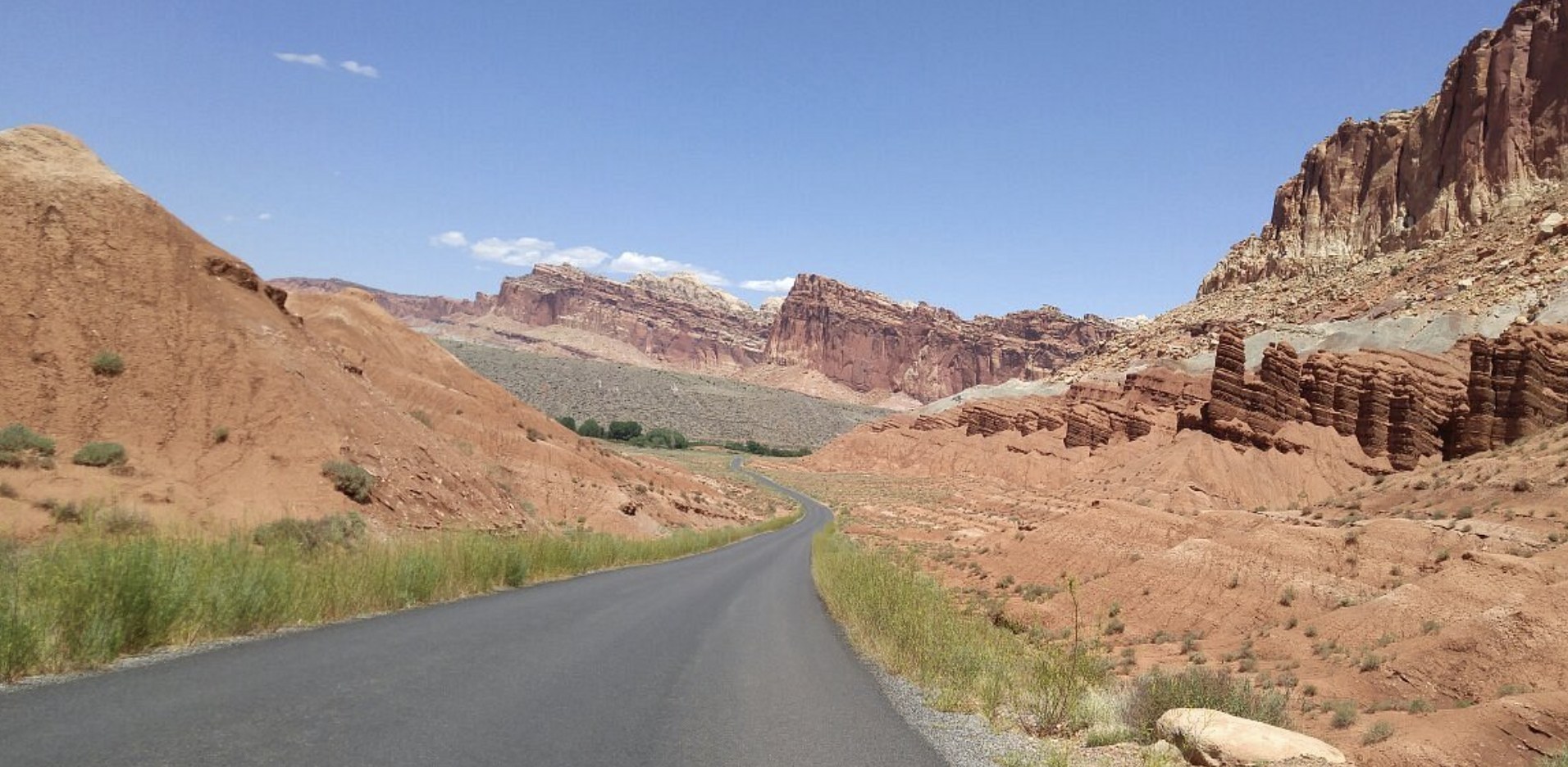
The paved section contains the best of it: Long Canyon, where the road plunges between towering vertical walls of Wingate sandstone, and a short slot beside the road that people stop for. A normal car does this comfortably and it is one of the finest hours of driving in Utah.
Drive to the pavement's end, look at what comes next, and decide there rather than at home.
There is no fee to drive the Burr Trail, no permit and no gate. What there is, past the pavement, is a shelf road that drops 800 vertical feet in tight steep switchbacks, and no phone signal anywhere on the route.
The easy half
Long Canyon and the paved section
How far the pavement runs is worth stating carefully, because published figures disagree. Local and regional sources put the paved section at about 30 to 31 miles from Boulder to the Capitol Reef boundary. One state tourism page gives approximately 18 miles before the surface changes. We have not been able to resolve that, so we publish the range and suggest you treat the pavement's end as the decision point rather than a specific milepost.
What is not in dispute is the character. Long Canyon is the reason people drive this, with the road running between sheer walls of blazing Wingate sandstone in a corridor narrow enough to feel enclosed. Singing Canyon, a short slot right beside the road, is a two minute walk and worth the stop.
Any vehicle does this in dry conditions, and it makes an excellent half day from Escalante or a natural first morning if you are staying in Boulder.
The hard half
Where it becomes a different road
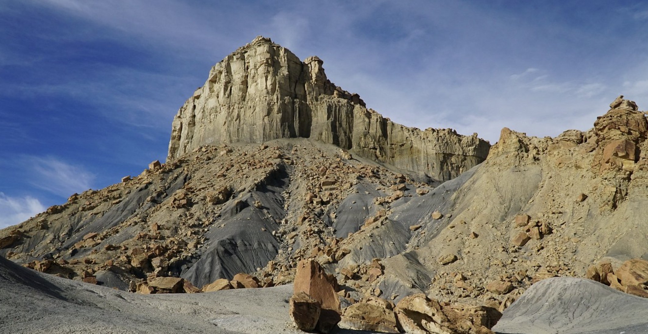
Inside Capitol Reef the surface turns to dirt and clay, and the route crosses the Waterpocket Fold on an unpaved shelf road dropping 800 vertical feet through a series of tight, steep switchbacks. From the top the view takes in jagged sandstone reefs and all five peaks of the Henry Mountains.
The state's guidance is that the road can be travelled by a passenger vehicle from spring to fall in dry conditions, and that it may be impassable even to four wheel drive vehicles after a storm. Both halves of that sentence matter.
The failure mode here is weather, not vehicle
Dirt switchbacks become slick when wet, and summer afternoon storms cause sudden washouts and mud. You can be on a perfectly reasonable surface in the morning and a very unreasonable one by three o'clock, with no signal to call anybody and a long way to the nearest help either direction.
If you are continuing to Bullfrog or connecting to the Notom road, treat the forecast as the decision rather than your vehicle. If you are day tripping from Escalante, the switchbacks are a long way from home and the paved half is the better use of the day.
What branches off
Side roads and hikes
| Where | What it needs | Notes |
|---|---|---|
| Singing Canyon | Any car | A short slot right beside the paved road in Long Canyon. Two minutes from the vehicle and the easiest slot canyon experience in the region. |
| The Gulch | Any car to the trailhead | Backcountry slot canyons with sandy floors leading into twisting narrow sandstone. Access from the paved section. |
| Wolverine Loop | High clearance | A roughly 20 mile unpaved side road, impassable when wet. Petrified wood and quiet country, and a genuine commitment rather than a detour. |
| Capitol Reef and beyond | Dry conditions | The switchbacks, then the Notom road or on to Bullfrog. A full day with no services. |
The Gulch and Singing Canyon together make the paved Burr Trail a legitimate hiking day rather than just a drive, which is worth knowing if the dirt roads out of Escalante are wet and the usual plan is off. The other all weather option is Lower Calf Creek Falls, reached on pavement.
Practicalities
Driving it well
- Fuel in Escalante or Boulder. There is nothing on the route and Boulder is small. Sixty six miles with no services either direction.
- Water and supplies. Carry what you need for the day, including for the vehicle.
- No cell service. Download offline maps and leave your plan with somebody.
- Dogs are allowed, though most areas and trails along the backway require them on a lead.
- Check the forecast for the whole area, not just Boulder, because the storm that closes the switchbacks may be over Capitol Reef.
If you are basing in Escalante, the Burr Trail is a 27 mile drive to the start over the Hogback before you begin, which makes it a full day rather than an afternoon. Staying in Boulder puts you at the trailhead. See where to stay, Scenic Byway 12 and the town guide.
Questions we actually get
Frequently asked
Is the Burr Trail paved?
Partly. From Boulder it is paved to the boundary of Capitol Reef National Park, then becomes dirt and clay. Published figures for the paved distance range from about 18 to 31 miles and we have not been able to resolve the discrepancy, so treat the end of the pavement as the decision point rather than a specific milepost.
Can I drive the Burr Trail in a normal car?
The paved section from Boulder through Long Canyon, yes, comfortably. Beyond that the state guidance is that a passenger vehicle can manage it from spring to fall in dry conditions, but that the road may be impassable even to four wheel drive vehicles after a storm.
How long is the Burr Trail?
About 66 miles from Boulder, Utah to Bullfrog Marina on Lake Powell. Most visitors drive only the paved section from Boulder to the Capitol Reef boundary and turn around, which is a very good half day in itself.
What are the Burr Trail switchbacks?
An unpaved shelf road inside Capitol Reef that drops 800 vertical feet through a series of tight, steep switchbacks across the Waterpocket Fold. From the top the view takes in sandstone reefs and all five peaks of the Henry Mountains.
Is there a fee to drive the Burr Trail?
No. There are no fees to drive the Burr Trail Scenic Backway, no permit and no gate. Dogs are permitted, though most areas and trails along the route require them on a lead.
Is the Burr Trail worth doing from Escalante?
Yes, but treat it as a full day. Boulder is 27 miles north of Escalante over the Hogback before the Burr Trail even begins. If the dirt roads out of Escalante are wet and the slot canyons are off, the paved Burr Trail is one of the best alternatives available.
The wet weather alternative
When the road to the slot canyons is clay, the paved Burr Trail is the best day still available.
Planning the rest? See the planning hub and best time to visit.
No fee, no permit, no signal. The pavement ends where the decision starts.
Base in Boulder